

DEMING – The New Mexico Bureau of Geology and Mineral Resources is inviting local and state representatives to witness a live helicopter demonstration on Tuesday, December 2, from 10:15 to 11:45 a.m. at the Deming City Airport.
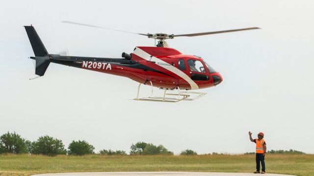
The event will highlight New Mexico Tech’s Aquifer Mapping Program and its use of advanced airborne geophysical technology to study groundwater resources. A helicopter liftoff is planned between 11:15 and 11:30 a.m., during which crews will showcase how aerial geophysical equipment collects subsurface data to help officials understand and manage the state’s aquifers.
The Aquifer Mapping Program is a statewide research effort that uses cutting-edge survey tools to assess the location, depth, and characteristics of groundwater. Representatives attending the demonstration will have the opportunity to see the equipment in action and learn how airborne data supports long-term water-resource planning in New Mexico..
The event is not open to the general public. The report is for informational purposes only.
The event will take place at:
Deming City Airport
310 Airport Rd.
Deming, NM 88030
More information about the program can be found at: geoinfo.nmt.edu/resources/water/amp